The River Wey
Southern Branch

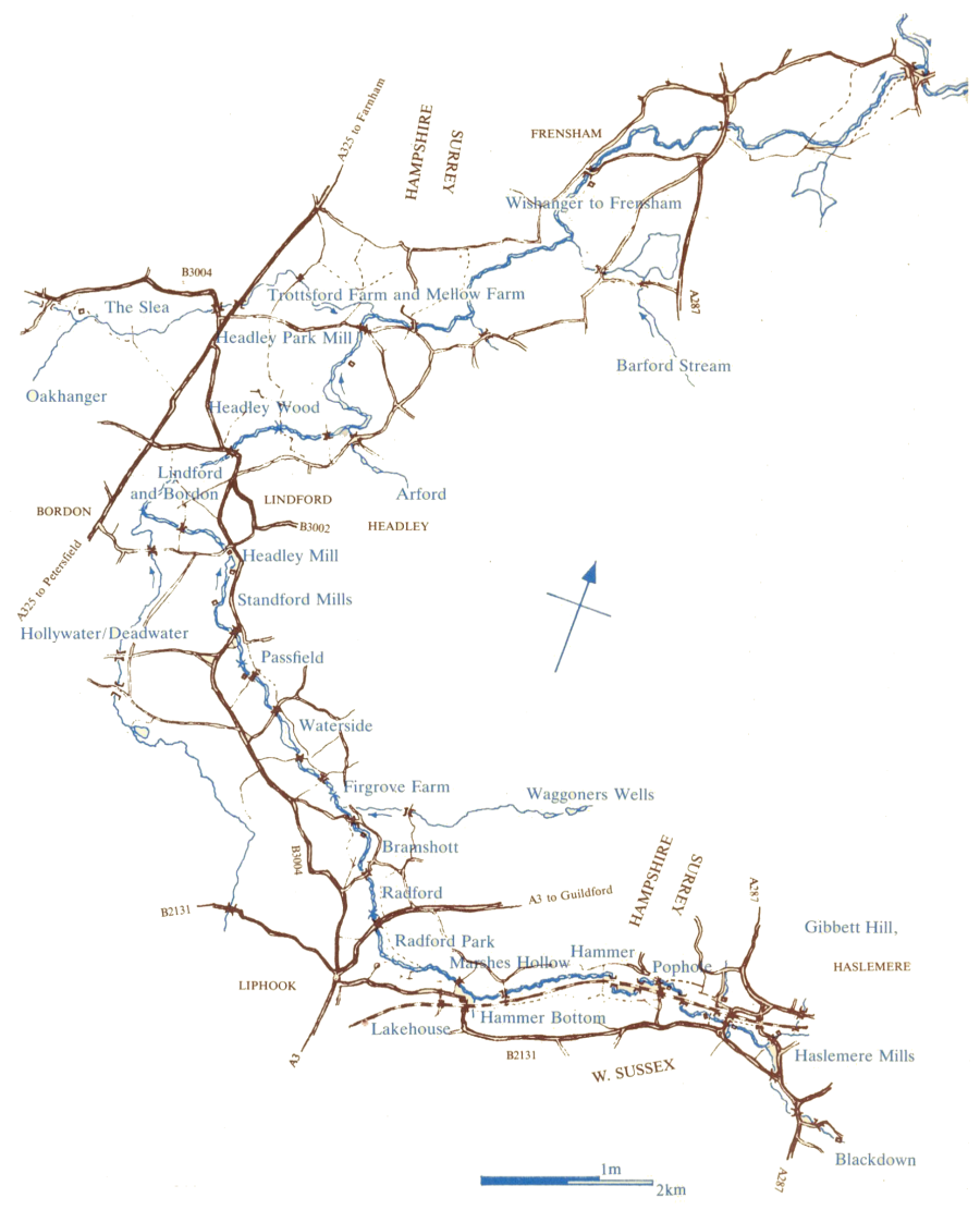
The River Wey is quite unusual in that it has two sources, one in West Sussex and one in Hampshire. The two individual streams develop very quickly into fully fledged rivers both called the Wey but identified individually as the North Branch, flowing from Alton in Hampshire, and the South Branch running from Blackdown just over the West Sussex border near Haslemere.
The southern branch of the River Wey rises in the hills that surround Haslemere. For fifteen miles it flows first westwards, then north in an arc through Hampshire to re-enter Surrey near Frensham. It is joined by the Alton branch of the Wey at Tilford - the point which is the downstream limit of the River Wey Trust's 'area of interest'.
From Tilford the Wey goes on via Godalming and Guildford to join the Thames at Weybridge, and thence to the sea.
In its upper reaches the souther Wey is a small river flowing though a predominantly rural landscape of woods, fields, and gardens. The quiet nature of the valley today belies its history as the scene of intensive industrial and agricultural activity, much of whose legacy is still with us.
The six miles of river between Haslemere and Headley supported over a dozen watermills, of which one was until only recently (into the 21st century) still a working mill.
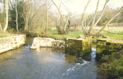
Less obvious are the watermeadows which once ran almost uninterrupted from the source of the Wey downstream at least as far as Frensham. They were devised to improve the fertility and drainage of the riverside meadows through a process of controlled irrigation, and so to maximise the production of hay. Water was diverted from the river onto the meadows through a system of channels or 'carriers', then returned to the river through a complimentary pattern of drains.
The Wey meadows are known to have been in existence in 1680, and continued in use until the early 20th century when changes in agricultural practices made them uneconomic.
Watermeadows are found elsewhere in the country, with the most celebrated in the valleys of the chalk streams farther west in Hampshire and Wiltshire, but the Wey system differs in underlying geology, in scale, and in the complexity of the arrangement of sluices, hatches, and particularly aqueducts.

